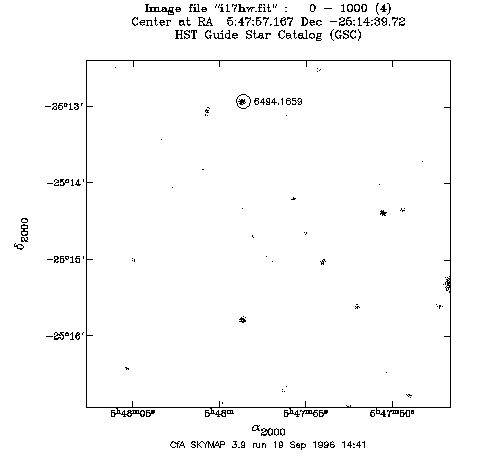
[Image] Before fit: [Image/GSC] [Map/GSC] [Image/DSS] [Map/DSS] [Header] [Stars]__ After fit: [Image/GSC] [Map/GSC] [Image/DSS] [Map/DSS] [Header]
Click on the image to see how the stars matched before fitting the WCS.
Plotted using skymap